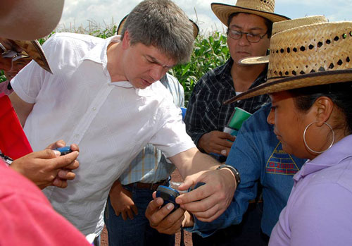
Geography matters – 80% of all data has a spatial component, which is “why geographic information systems (GIS) are growing exponentially,” said Kai Sonder, head of CIMMYT’s GIS unit, during a presentation to CIMMYT Day attendees, explaining that GIS involves the mapping and analyzing of spatial and geographic data. “By 2050, 70% of all farmers living in maize and wheat growing areas in Latin America, Asia and Africa will experience yield losses of 15% and more,” said Sonder. The GIS unit is able to make this prediction by analyzing, mapping and modelling climate change implications, crop suitability, socioeconomic and other data sets affecting agricultural production across the globe. The GIS unit also uses spatial analysis for targeting or defining the potential for spreading technologies such as new maize or wheat varieties or conservation agriculture practices, or gauging the market potential for the small- and medium-scale seed companies working with CIMMYT. The unit curates and continuously updates a comprehensive collection of geospatial datasets and geographic databases for all maize- and wheat-producing countries in the developing world.
 Climate adaptation and mitigation