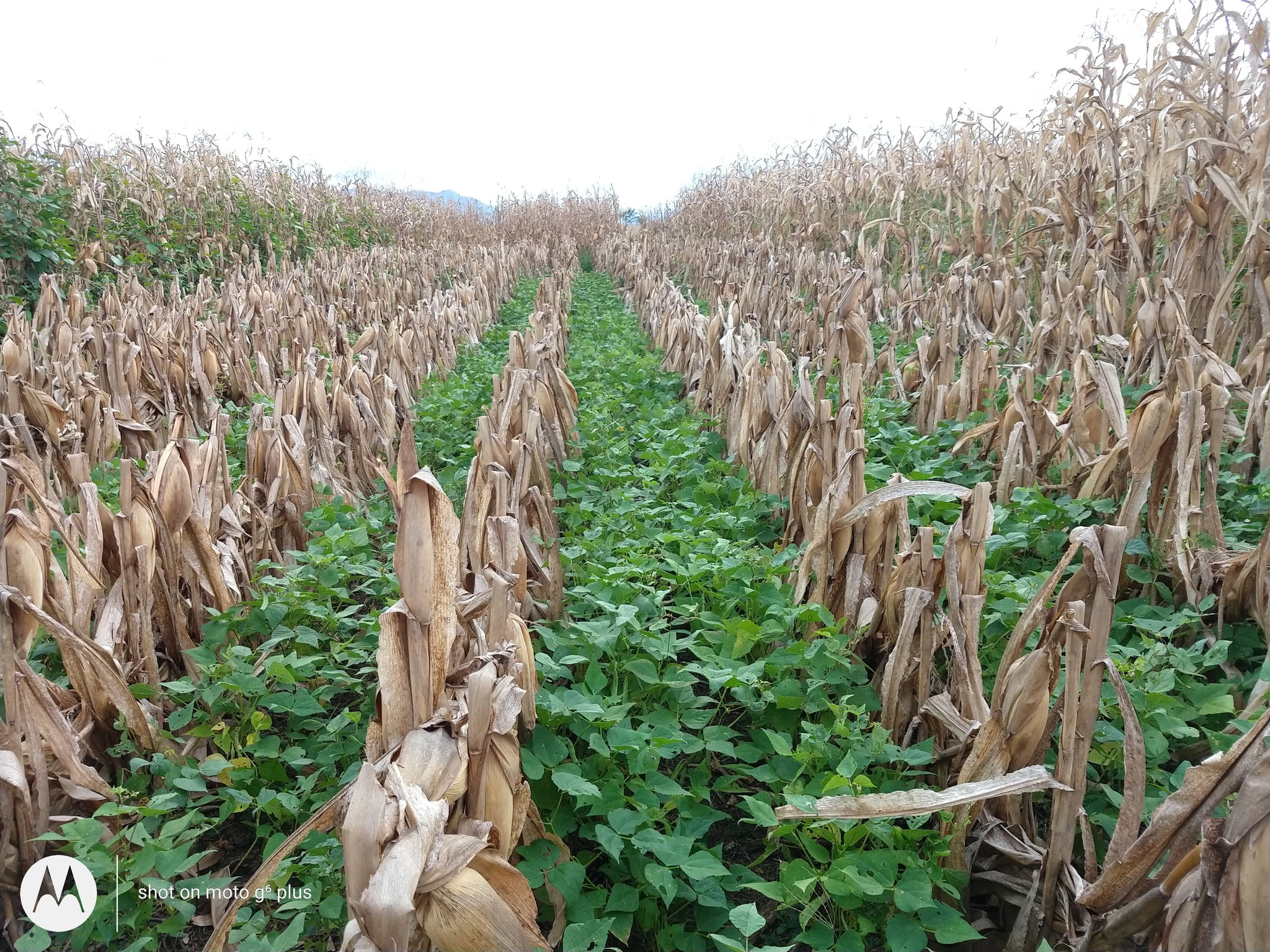
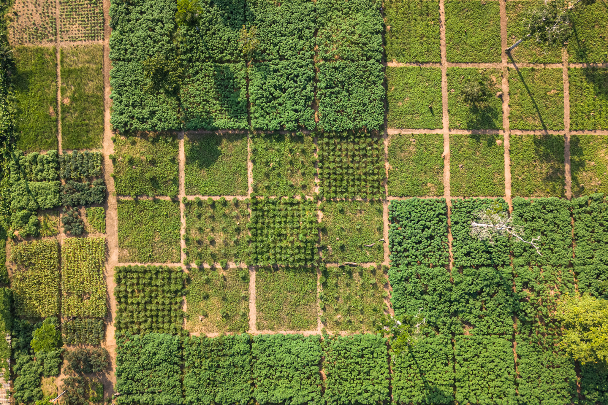
When a non-farmer looks upon a field, they might just see it as an expanse of dirt and give no more thought to it. But to a farmer, that dirt is soil, the lifeblood of agriculture. Among other things, soil delivers necessary nutrients to crops, allowing them to grow and flourish.
About 95% of the food consumed around the world grows from soil, which is rapidly deteriorating because of unsustainable human activity. Around 33% of all soils around the world are degraded, meaning they can no longer sustain the same level of agricultural activity. This leads to lower crop yields, which potentially leads farmers to increase their use of fertilizer to overcome the damaged soil. But increased nitrogen fertilizer use has profound climate change effects, as poor fertilizer management, including overuse, can lead to nitrous oxide (a greenhouse gas) leaking into the air and nitrates into groundwater, rivers, and other water systems.
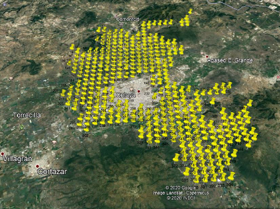
An important implement in the effort to preserve soil fertility is the practice of soil mapping, a process which produces detailed physical and chemical soil properties within a region. Things like the amount of nutrients, acidity, water conductivity, and bulk density, help guide decision making from individual farmers all the way to regional and national stakeholders.
The Sustainable Productivity Growth Coalition, a United Nations initiative which aims to accelerate the transition to more sustainable food systems through a holistic approach to productivity growth to optimize agricultural sustainability, featured soil mapping as an innovative, evidence-based approach for accelerating sustainable productivity growth in its 2023 report.
A global soil mapping initiative is underway led by the Food and Agriculture Organization of the United Nations (FAO) and the Global Soil Partnership with important contributions from CIMMYT scientist working in Mexico.
“Soil mapping of an agricultural region for chemical and physical soil properties offers a range of benefits that can significantly improve agricultural practices, land management, and overall productivity,” said Ivan Ortiz Monasterio, CIMMYT principal scientist.
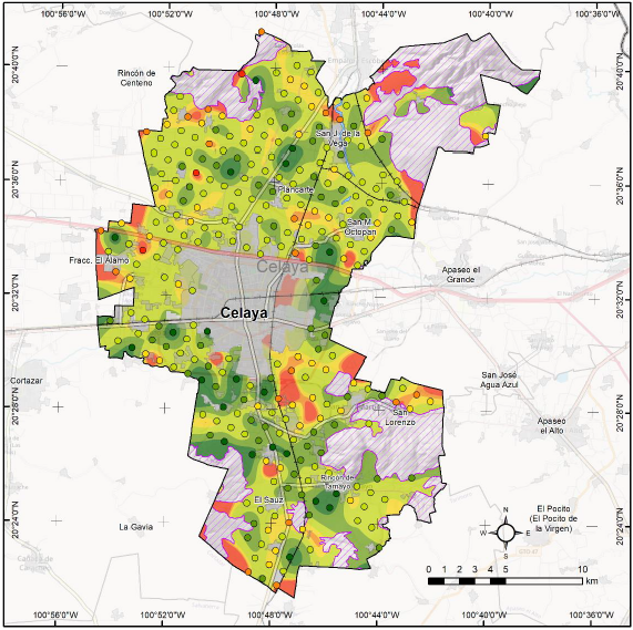
Soil maps = blueprints
Using up-to-date soil information at the national scale can help to plan agricultural and land planning interventions and policies, by excluding areas with higher carbon content or fertility from urbanization plans, or by planning the implementation of irrigation schemes with high-quality water in salt-affected areas.
For farmers, there are many benefits, including the creation of nutrient management plans, which are perhaps the most important. These plans guide decisions about application rates and timing of inputs like fertilizers, help avoid over-application, and reduce the risk of runoff and pollution. This supports sustainable agriculture while reducing costs and minimizing nutrient pollution.
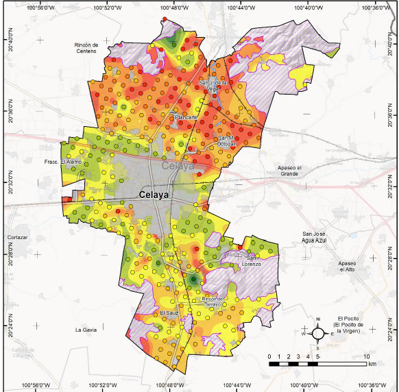
“There are many other benefits,” said Ortiz Monasterio. “From improved irrigation management, to informed crop decisions, to things like climate resilience because more fertile soils are better able to cope with the challenges of climate variation.”

 Climate adaptation and mitigation